 Zimbabwe
 Using Drones to Enhance Emergency Preparedness and Response Systems in Zim
Over the years, Save the Children has been complementing efforts by the Government of Zimbabwe to strengthen Disaster Risk Reduction systems in communities. In times of disasters such as cyclones, Save the Children is on ground before, during, and after emergencies, reaching out to children and families with lifesaving assistance.
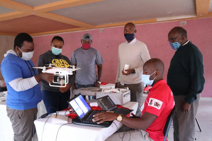
To enhance disaster preparedness and emergency response systems. Save the Children under the Humanitarian Fund Project recently procured a drone and five staff members were trained on Geographic Information System (GIS) and use of drones to advance humanitarian work before, during and after emergencies. This innovation will enable the organisation to efficiently support disaster prone communities in Zimbabwe to carry out hazard mapping, save lives and protect livelihoods and assets from natural disasters. Strengthened early warning systems will translate into early action.
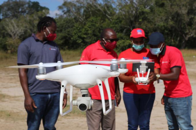
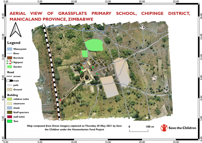
After the training, Save the Children conducted a hazard mapping exercise at Grassflats Primary School in Chipinge district, one of the schools which was affected by Cyclone Idai and Cyclone Eloise and is also prone to other disasters such as floods and strong winds. The Unmanned Aerial Vehicle was deployed at the school and it captured several aerial images of the school and its surrounding areas, the vegetation, as well as rivers and roads. The images were later processed on the Drone Deploy software leading to the production of an aerial map of the school.
“We used the drone to come up with a visual aerial presentation of Grassflats Primary School and its surrounding environment, and we processed the images to produce an aerial map of the school.” said Sophie Hamandishe the Communications Advisor for Save the Children.
“Working with the school authorities and representatives from the community, we used the map to mark the hazards at the school, identify possible escape routes for use at school children and the teachers in the event of an emergency.” she said.
“The school will also use the map to inform a number of decisions, which ultimately contributes to saving lives. Using drone technology has enabled us to show how the school structures are located in relation to the hazards, and the school will use this information to decide where to place future structures and which direction they face.From the maps, we established the elevations of the school, and this gave an indicator of the direction in which water flows. In the case of Grassflats School the water flows from the west to the east, and this was confirmed by the school authorities. This sort of information is critical when making decisions such at location of school infrastructure, as well as where to run to during floods,” said Hamandishe.
Knowledge about possible hazards and escape routes is crucial for school Disaster Risk Reduction planning and when communicated effective to school children and staff, it can help save lives.
Save the Children plans to continue making use of drone technology to support more schools as well as communities in its areas of operation around Zimbabwe for disaster risk reduction, emergency preparedness and response.